


Case Study: Production-Line As-Builts in 4 Days — Houston Chemical Plant
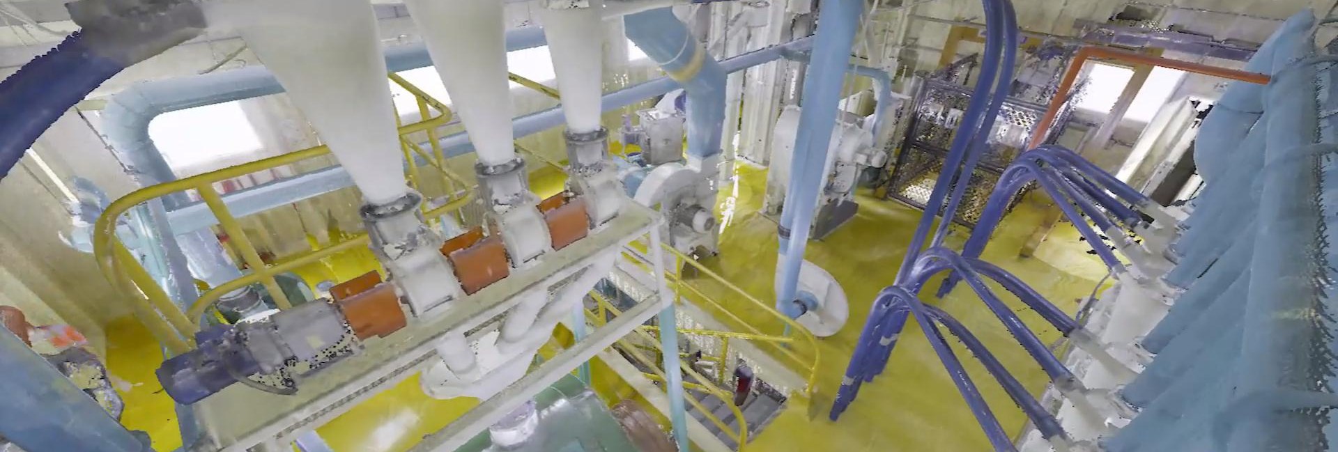
A Houston plant needed field-verified as-builts before relocating a production line. Existing conditions captured in 4 days, delivered as a 3D BIM model.
At a glance: 37,674 sq ft captured · 4 days on site · ~450 scan setups · Leica RTC360 + FARO Focus · Deliverables: registered point cloud + 3D BIM model.
The challenge
A cleaning-products manufacturer in Houston needed to rehabilitate and relocate a production line — but had no reliable as-built documentation of the existing production area or electrical substation. In a live, congested plant, manual measurement would have taken weeks and still risked missed conflicts and compounding errors.
The approach
DynamicJT deployed terrestrial laser scanners — a Leica RTC360 paired with FARO Focus units — chosen for the millimeter-level precision the client required. Over four days on site, the field crew captured the production area and electrical substation in roughly 450 scans (about 9,400 sq ft per day), registered into a single, QA-controlled dataset with minimal disruption to plant operations.
The deliverables
- A survey-grade, fully registered point cloud of the production area and electrical substation.
- A 3D BIM model built from the point cloud — a dimensionally accurate digital base of existing conditions.
The outcome
The client gained two things they didn't have before: accurate as-built plans, and a 3D base to validate the new rehabilitation and line relocation — testing equipment placement, clearances, and routing against reality before committing budget. Design-ready conditions in days, instead of weeks of manual measurement and guesswork.
From point cloud to decisions — a digital base accurate enough to design from.
The same terrestrial scanning approach also caught a fabrication conflict before it reached the field on another Houston-area project — see the steel reconciliation case study, or learn more about turning point clouds into design-ready models with Scan-to-CAD/BIM.
Planning a brownfield project or equipment relocation?
Get a free sample scan of your facility, or download the one-page case study (PDF).
Get in Touch for Tailored 3D Laser Scanning & BIM Solutions